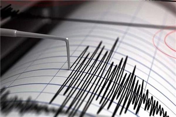
SANAA, Nov. 17 (YPA) – A 6.3-magnitude earthquake struck off the coast of Sumatra province, Indonesia,” The Meteorology, Climatology, and Geophysics Agency (BMKG said early Tuesday.
The agency explained in his written statement that the tremor started at 08:44:07 Western Indonesian Time (WIB) with 6.3 M before it was updated to 6.0 M.
The epicenter was located at 2.90 degrees south latitude and 99.07 degrees east longitude, or precisely in the sea, 112 kilometers southwest of Tuapejat City, Mentawai Island. “It is classified as a shallow one at a depth of 13 kilometers,” the statement said.
The US Geological Survey confirmed that the quake measured 5.8 on the Richter scale and was 226 kilometers southwest of Bengkulu, Indonesia, at 01:44:09 GMT.
Indonesia is one of the most seismically active areas on Earth and forms part of the so-called Pacific ring of fire.
This region of the world is located the most active earth layers, some of which move at a speed of 7 cm per year.
E.M


